
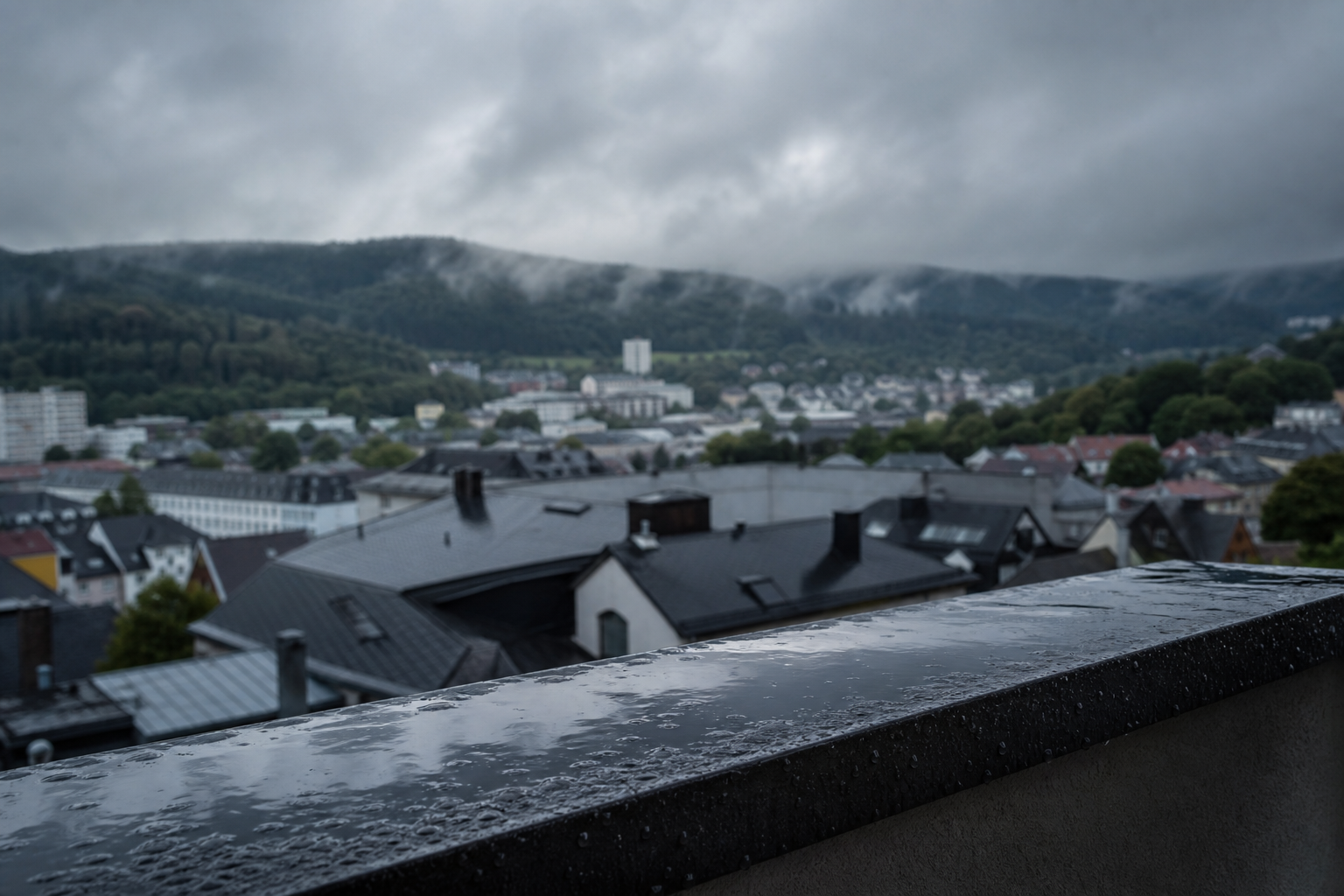
Weather trend for the middle of the week
Suhl before the weather change: Rain risk increases significantly in the middle of the week
In Suhl, the three-day overview shows the most significant change in the middle of the week: According to the current forecast, Wednesday will be the most unsettled day—with a significantly increased risk of rain, wind, and no specified hours of sunshine. On Thursday, the weather is expected to calm down a bit and become milder.
Tuesday will initially remain changeable, but still comparatively calm: For 19.05., the overview lists 15 degrees during the day and 5 degrees at night. Three hours of sunshine are specified. No precipitation is indicated for this day (0 l/m²), and the precipitation risk is 30 percent. All in all, this means: mostly cloudy, occasional clearings—and at least no clear rain phase.
Wednesday focuses on rain and wind
20.05. is the weather-determining day in the three-day forecast. The maximum temperature is expected to be the lowest at 14 degrees, with nighttime values rising to 10 degrees. At the same time, the precipitation risk jumps to 90 percent, with 5.3 liters per square meter expected. It will also be windy, and no hours of sunshine are specified. Overall, everything that makes the day noticeably more uncomfortable comes together in the middle of the week: wetter, cooler, and with an additional wind factor.
For the Thuringian Forest, supplementary regional forecasts also describe an increased probability of showers and isolated thunderstorms. Whether these thunderstorm cells will actually reach the city area of Suhl remains dependent in the short term on the exact track and daily development. Anyone sensitive to thunderstorms or traveling in exposed areas should keep an eye on short-term updates on Wednesday.
Tuesday and Thursday: variable cloudiness, with better time windows
On Thursday, 21.05., the overview shows a friendlier tendency again: 17 degrees during the day and 10 degrees at night. The precipitation risk drops significantly to 15 percent; again, three hours of sunshine are specified and no precipitation (0 l/m²). This does not indicate stable high-pressure weather, but noticeably better conditions than in the middle of the week—especially for outdoor activities and appointments.
What the development means for Suhl
For everyday life, Wednesday is especially relevant: Anyone working outdoors, traveling on foot, or planning trips in the area must expect rain, wind, and little to no sunshine according to the forecast—and should plan flexibly. Tuesday and Thursday, on the other hand, remain the days with larger time windows for dry periods in this overview, even if the weather remains changeable overall.
The development is thus clearly recognizable: No permanent transition to stable summer weather, but a brief, marked interruption in the middle of the week—before temperatures rise again on Thursday and the risk of rain decreases.